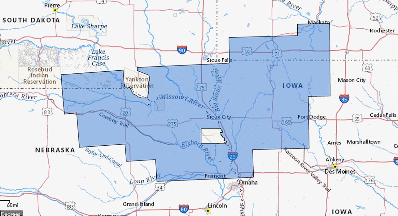
Scientists from Iowa, Minnesota, Nebraska and South Dakota, as well as the U.S. Geological Survey are partnering to image geology using airborne geophysical technology.
The new airborne geophysical sur…
Scientists from Iowa, Minnesota, Nebraska and South Dakota, as well as the U.S. Geological Survey are partnering to image geology using airborne geophysical technology.
The new airborne geophysical sur…